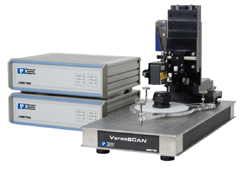

VersaSCAN-OSP Non-contact Optical Surface Profiler
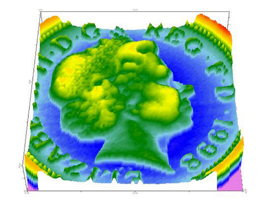
The OSP experiment maps topographic changes on a sample surface. This is a laser-based technique. Map topographic differences to characterize corrosion pits, sensors, etc. Create a topographic map for integration for other scanning probe technologies in Constant Distance Mode. Use as a highly accurate leveling mechanism before other scanning probe techniques.
- OSP uses laser-based technology to accurately map topography of any sample
- When combined with other techniques, OSP data provides a mechanism for Constant-Distance measurements removing a key complication of data interpretation


